Text-to-Image
Landscape
通用
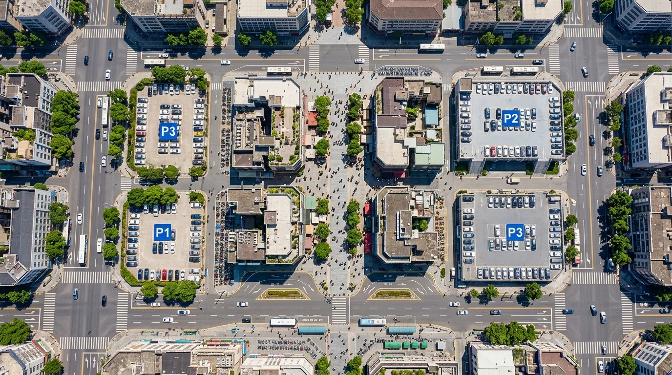
Parking Transfer: Where Cars Park
Prompt
An aerial configuration view of the area surrounding a pedestrian zone, illustrating where vehicles go. In the center of the image is a car-free shopping street; the surrounding blocks have clear supporting facilities: three to four concentrated parking lots are distributed within a three-minute walk outside the pedestrian zone, guided by simple signage; major roads still allow vehicle traffic and have space for U-turns and temporary stops at the entrance of the pedestrian zone; a bus stop and a shared bicycle station are located at both ends of the pedestrian zone. Motorcycle parking areas are delineated by pavement color at alley entrances. The locations of these supporting facilities and the entrances to the pedestrian zone have clear circulation relationships. Avoid: only depicting the pedestrian zone without surrounding supporting facilities, making parking lots too far away, eliminating public transport and bicycle connections, having no temporary parking space at the entrance of the pedestrian zone.
Translated from Chinese by AI.
Show the original prompt
一張徒步區周邊的配置鳥瞰,說明車輛的去處。畫面中央是無車的商店街;周邊的街廓則有明確的配套:三到四處集中的停車場分佈在徒步區外圍步行三分鐘的位置,以簡潔的標示引導;主要的道路仍然通行車輛並在徒步區的入口處有迴轉與臨停的空間;一個公車站與一個共享單車站設在徒步區的兩端。機車停放區以鋪面顏色劃設在巷口。這些配套的位置與徒步區的入口有明確的動線關係。避免:只畫徒步區不畫周邊配套、讓停車場距離過遠、消除大眾運輸與單車的接駁、讓徒步區的入口沒有臨停空間。