Text-to-Image
Landscape
通用
Topography as structure: Using earth instead of walls
Prompt
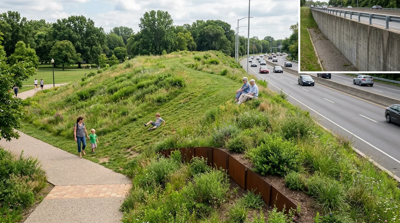
A park boundary that uses topography to manage elevation changes. What would normally require a two-meter-high retaining wall is now replaced by a gentle, eight-meter-wide earthen mound. The slope is so gradual that one can walk up it, sit down, or children can roll down it; the slope surface is covered with herbaceous plants and low shrubs. By using earth instead of a wall, the elevation change is no longer a visual and physical barrier but becomes a usable topographical feature. The mound also blocks views and noise from the adjacent road. Only in localized areas where space is insufficient does a short section of weathering steel retaining plate appear. One corner of the image shows a comparison with a vertical retaining wall: the same elevation difference becomes an impassable wall. Avoid: making the two similar, making the slope too steep to be usable, adding railings to the slope, or covering the slope with neat flowerbeds.
Translated from Chinese by AI.
Show the original prompt
一段以地形處理高差的公園邊界。原本需要一道兩米高的擋土牆,現在改為一道寬達八米的緩坡土丘,坡度平緩到可以走上去、坐下來、孩子可以滾下來;坡面覆蓋草本與低矮灌木。因為用土代替牆,高差不再是一道視覺與行為的障礙,而變成一個可以使用的地形。土丘同時遮擋了旁邊道路的視線與噪音。只有在空間不足的局部才出現一小段耐候鋼的擋土板。畫面的一角以垂直擋土牆的做法作對照:同樣的高差變成一道無法穿越的牆。避免:讓兩者相似、把坡度做得太陡無法使用、在坡面加裝欄杆、使用整齊的花圃覆蓋坡面。