文生图
景观设计
Nano Banana
景观鸟瞰图解:一张图的全区关系
提示词
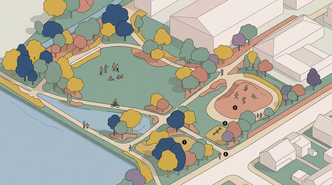
Create an illustrated aerial view of a landscape scheme, drawn as a flat graphic bird's-eye rather than a photorealistic render. Show the whole site from a high oblique angle in a consistent axonometric or gentle perspective, with the terrain simplified into clean planes and the planting rendered as stylised canopies with flat fills and a thin outline. Detail the paths as continuous ribbons, the water as a flat plane with a simple edge, and the buildings as pale simplified volumes with visible roof planes. Show the whole scheme in a limited illustrated palette of five or six colours, deliberately not naturalistic. Populate it with tiny flat figures indicating how each area is used — a group on the lawn, a cyclist on the path, children at the play mound. Add numbered markers on the key areas keyed to a caption strip along one edge. Keep a soft even light with only a very light drop shadow beneath canopies. Flat illustrated aerial, no photorealism.