文生图
景观设计
Nano Banana
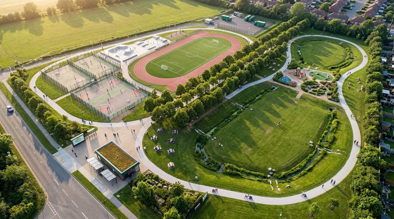
运动公园总平面图:分区、动线与缓冲区的鸟瞰
提示词
Render an aerial view of a complete community sports park, composed so the planning logic reads at a glance. Lay out the noisy hard-surface facilities — courts, skate plaza, track — grouped together toward the main road edge, with the quieter lawns, walking loops and children's areas set at the residential side, and a planted bund separating the two. Show a continuous walking and running loop threading the whole site as a clear ribbon, connecting every zone and returning to the entrance. Detail the entrance plaza with the management building, bike parking and the map board, and a service route reaching the maintenance compound at the rear. Show mature tree canopies structuring the space — an avenue along the loop, clusters shading seating, and a dense belt at the boundary. Include the drainage logic visibly: swales following the low line and a detention basin doubling as an informal lawn. Show late-afternoon sun with long shadows across the fields and people distributed through every zone. Photorealistic, legible, green with colour accents at the courts, high oblique aerial view.