画像生成
ランドスケープ
Nano Banana
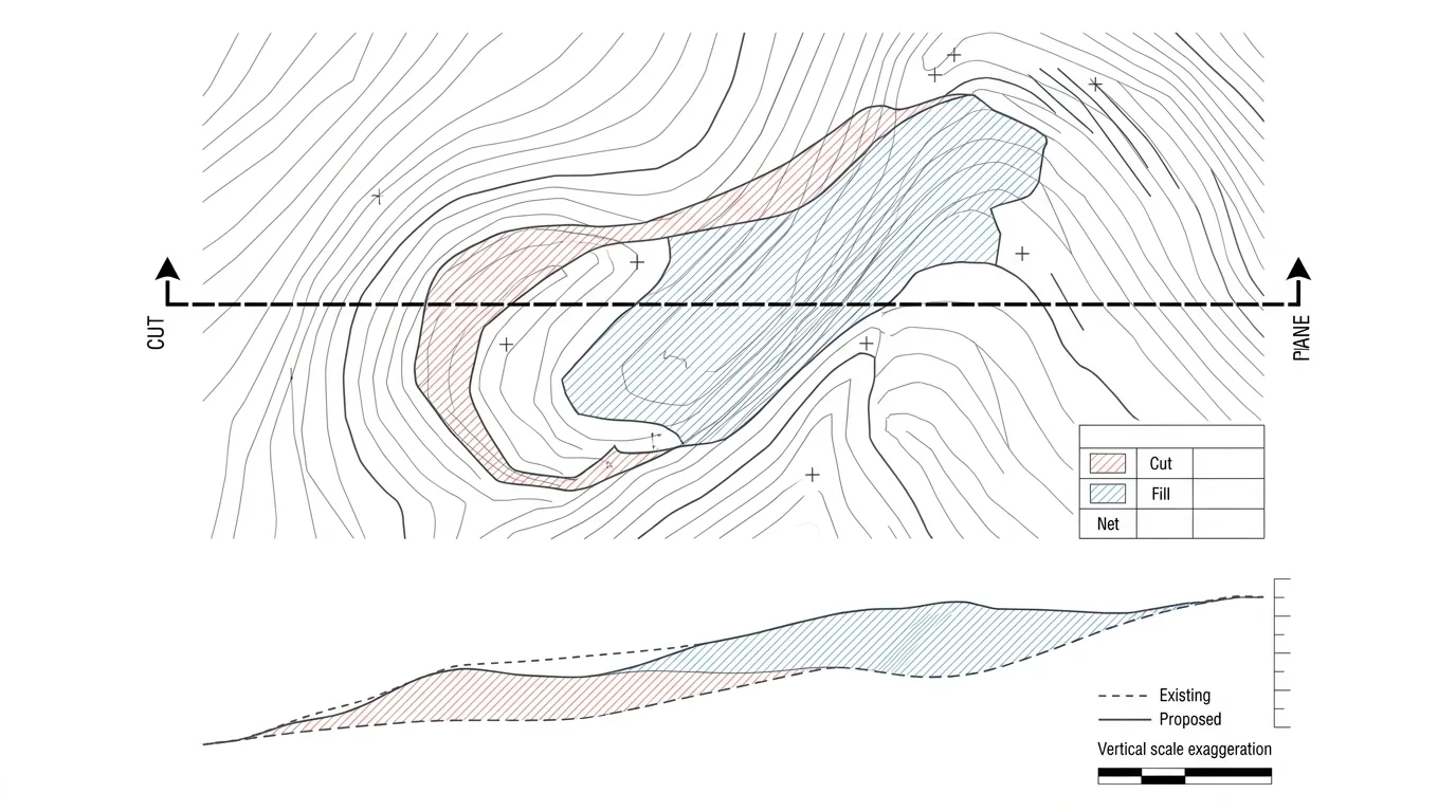
地形断面図:等高線と掘削・埋め戻しバランス
プロンプト
Create a landform diagram pairing a contour plan with its section. Show the plan on top: existing contours as fine grey lines and proposed contours as bolder dark lines, with the two diverging where the ground is reshaped, plus spot levels marked at key points. Detail the areas of cut in one colour and fill in another, with light hatching, and a small table giving the volumes of each so the balance is legible. Below the plan, show a section taken along a marked line, its position indicated on the plan by a bold cut line with end arrows. Draw the existing ground profile as a dashed line and the proposed profile as a solid line, with the space between them filled in the same cut and fill colours so the earthwork is instantly readable. Add a vertical scale exaggeration note, level markers and a graphic scale. Flat technical drawing, white background, restrained palette, no shadows, no photorealism.