画像生成
建築外観
Nano Banana
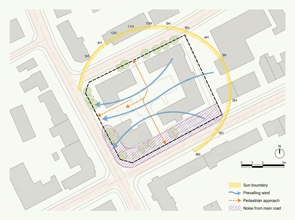
敷地分析図:立地・日照・風向・動線重ね合わせ
プロンプト
Create an architectural site analysis diagram, not a photograph. Show a simplified site plan drawn as flat vector graphics on a clean off-white background: the site boundary as a bold dashed line, surrounding buildings as flat light-grey solids with no shading, roads as pale bands with thin centre lines, and existing trees as simple circles with a light green fill. Overlay four analysis layers in distinct colours with partial transparency — a yellow sun path arc with hour markers sweeping across the site, blue arrows curving through it for prevailing wind, orange dashed lines for pedestrian approach with arrowheads, and a purple hatched zone for noise from the main road. Detail a small legend in the lower corner listing each layer with its colour swatch and a short label in clean sans-serif. Add a north arrow and a graphic scale bar. Keep line weights strictly hierarchical: boundary heaviest, buildings medium, annotation lightest. Flat diagram style, no perspective, no shadows, no texture, no photorealism, generous white space.