画像生成
ランドスケープ
Nano Banana
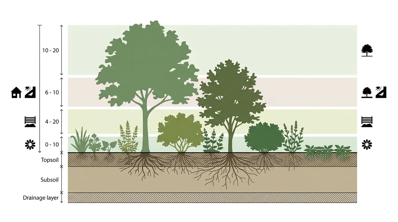
生態層次剖面:喬木、灌木と地被
プロンプト
Create an ecological layering section diagram explaining a planting scheme's vertical structure. Draw a section through a planted area with the soil profile below shown in horizontal bands — topsoil, subsoil, drainage layer — each labelled and hatched differently. Above ground, show the planting divided into four clearly separated horizontal bands with a soft tint behind each: canopy trees at the top, understorey small trees below, a shrub layer, and ground cover at the base, with a height range dimensioned at the side of each band. Detail representative plants in each layer as flat silhouettes with their names labelled by leader line. Show root systems below ground drawn as fine branching lines at their true relative depths, making the below-ground competition visible. Add small icons in the margin indicating which layers provide shade, habitat, screening and seasonal interest. Flat illustrated section, white background, layered greens and earth tones, no photorealism.