画像生成
ランドスケープ
Nano Banana
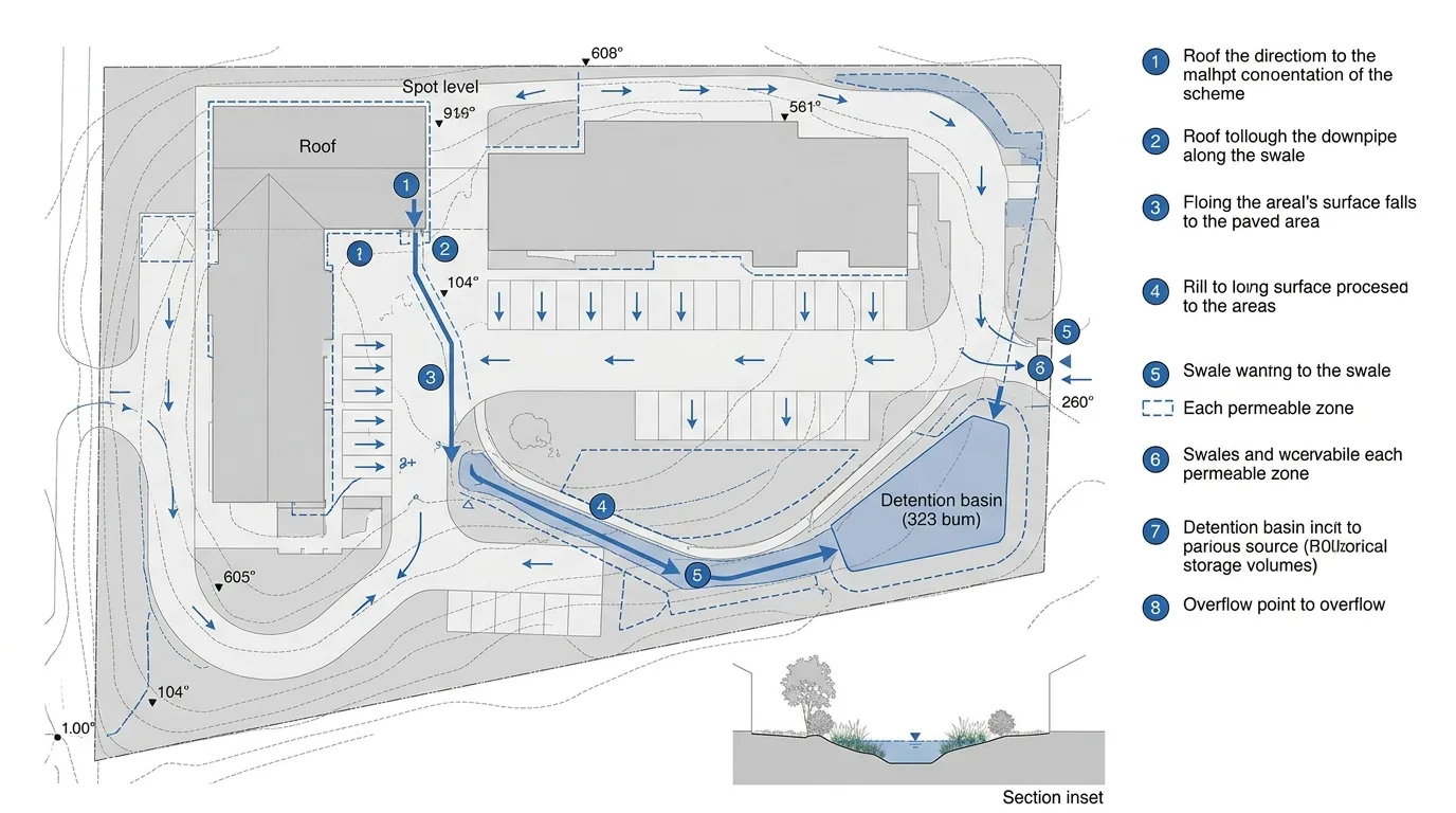
雨水システム図:流出経路と貯留
プロンプト
Create a stormwater strategy diagram for a landscape scheme, drawn as a flat analytical plan. Show the site plan in a quiet grey register with buildings, paving and planting distinguished only by tone. Overlay the water logic in blue: arrows following the surface falls across each paved area, thicker lines where flow concentrates, a dashed outline marking each permeable zone, and shaded blue polygons showing the swales and the detention basin with their storage volume noted. Detail the sequence with numbered markers along a single route — roof, downpipe, rill, swale, basin, overflow — each keyed to a short caption at the side. Show contour lines as fine dashed curves with spot levels at the high and low points so the fall direction is verifiable. Add a small section inset at the bottom cutting through the swale, showing its profile, planting and the water level in a storm. Flat technical diagram, white background, blue on grey, no photorealism.