画像生成
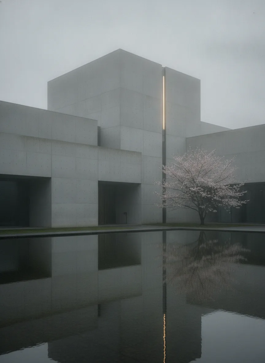
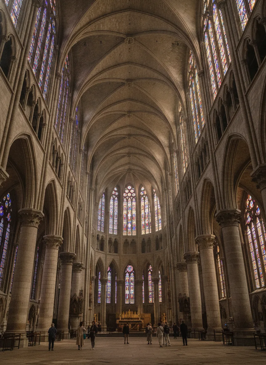
建築外観
Nano Banana
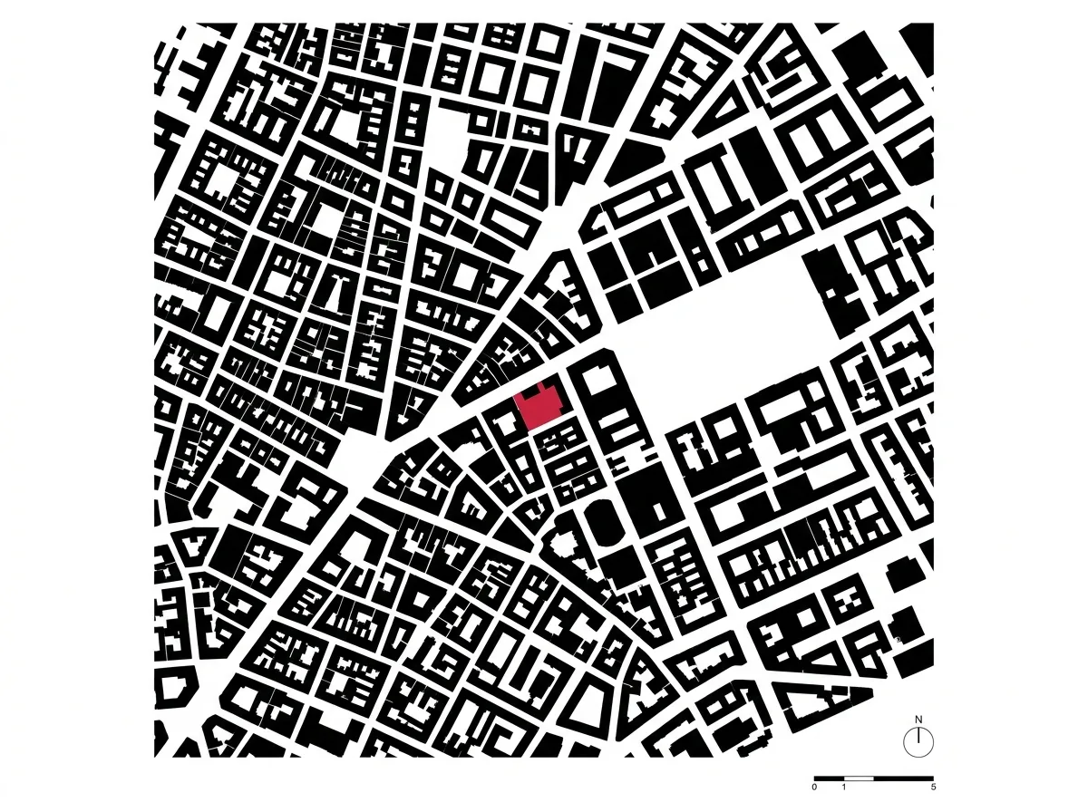
都市構成図:白黒図地とボリュームの関係
プロンプト
Create a figure-ground urban context diagram of a city district. Render all building footprints as solid black shapes and all open space — streets, squares, courtyards, parks — as pure white, with no lines, no labels and no other information, so the drawing reads purely as the pattern of solid and void. Show the district at a scale where individual blocks and the grain of the fabric are legible: dense fine-grain fabric in one area, larger slab blocks in another, an open park as a large white void. Detail the site of interest as the only element in a strong accent colour, so it reads instantly within the black field. Add a thin north arrow and a graphic scale bar in one corner, and nothing else. Keep the composition square with an even margin of white around the drawing. Flat graphic diagram, absolute black and white with one accent, no grey, no texture, no shadows, no photorealism.