画像生成
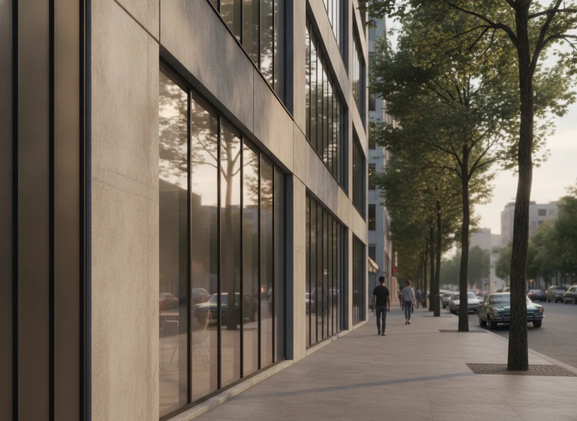
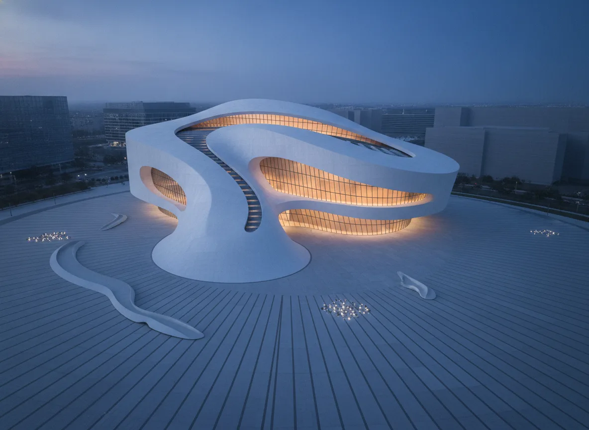
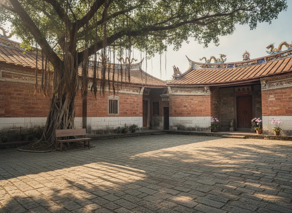
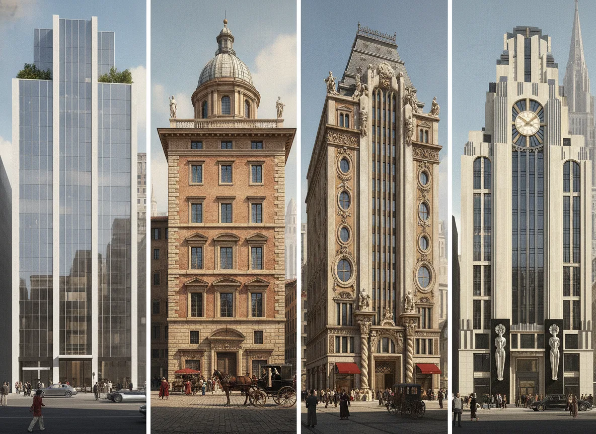
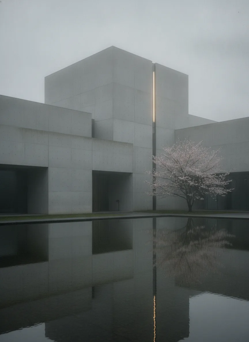
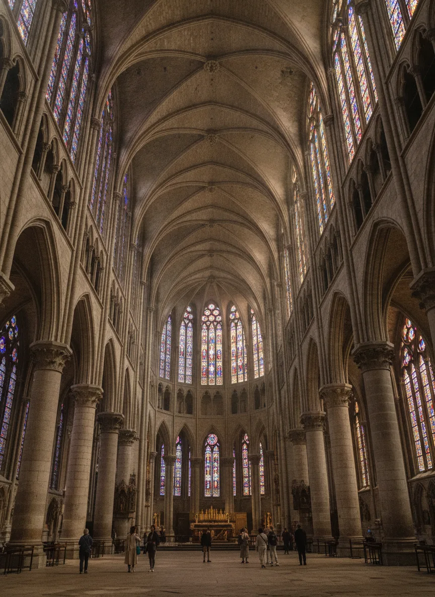
建築外観
Nano Banana
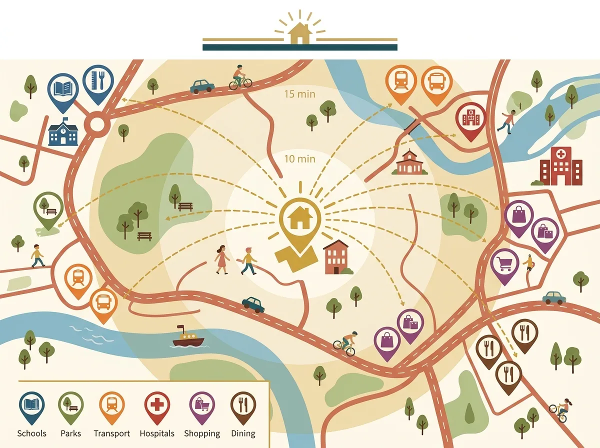
ロケーション・ライフスタイル・サークル図:機能と距離の可視化
プロンプト
Create a location and lifestyle map for a residential development, drawn as an illustrated marketing graphic rather than an accurate map. Show the site marked by a prominent icon at the centre, with the surrounding district rendered as a simplified illustrated aerial — roads as clean bands, parks as green shapes, water as a blue ribbon, and landmark buildings drawn as small stylised icons rather than footprints. Detail the amenities as illustrated pins grouped by category with a consistent icon set: schools, transport, hospitals, parks, shopping, dining. Show walking and driving times as curved dashed lines radiating from the site to each landmark with a small time label. Detail concentric rings at five, ten and fifteen minutes in a soft translucent tint. Keep the geography deliberately compressed so everything looks close, which is the convention of the genre. Add a legend and a short headline. Keep the palette warm and limited to five colours. Flat illustrated map, inviting, no perspective, no photorealism.