Text-to-Image
Landscape
Nano Banana
Paving in Landscape Perspective: Joints Determine Scale
Prompt
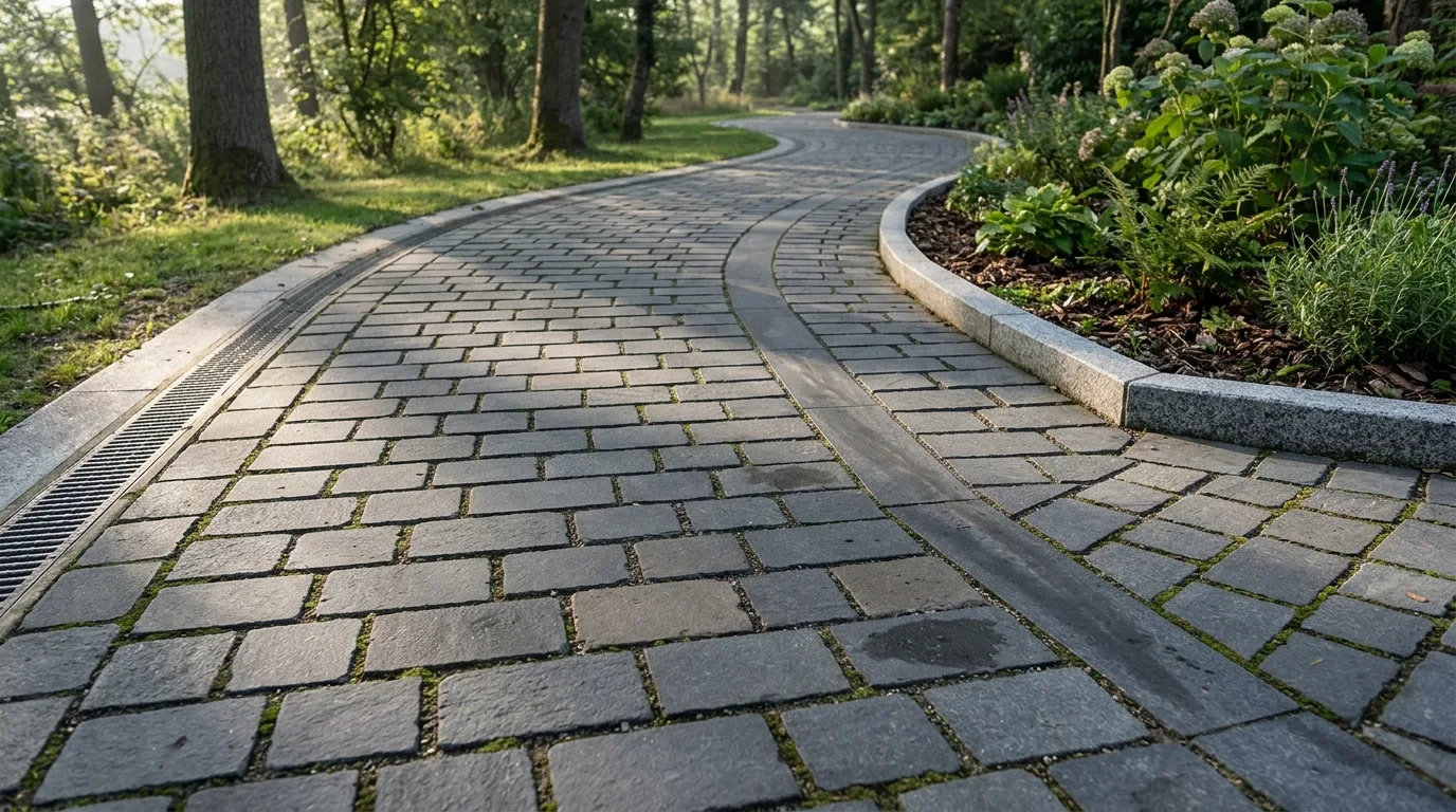
Create a landscape visualisation where the paving is rendered with enough precision to establish scale. Show the paving units at their true size with a correct laying pattern, the joints at a believable width, and the pattern responding properly to the geometry — cut units at the edges and around obstacles, the bond continuing correctly around a corner, and a change of direction where the path turns. Detail the surface variation that stops paving reading as a texture map: individual units differing slightly in tone, a few darker where damp, one or two replaced units in a mismatched shade, and the joints holding a little grit and moss. Show the wear along the actual walking line as a subtly polished, slightly darker band that does not follow the path's centre but cuts the corner. Detail the transitions at kerbs, drainage channels and the meeting with planting beds as crisp and correctly detailed. Show low raking light so every joint reads. Photorealistic, precise, tactile, low eye-level view along the paving.