Text-to-Image
Architecture
通用
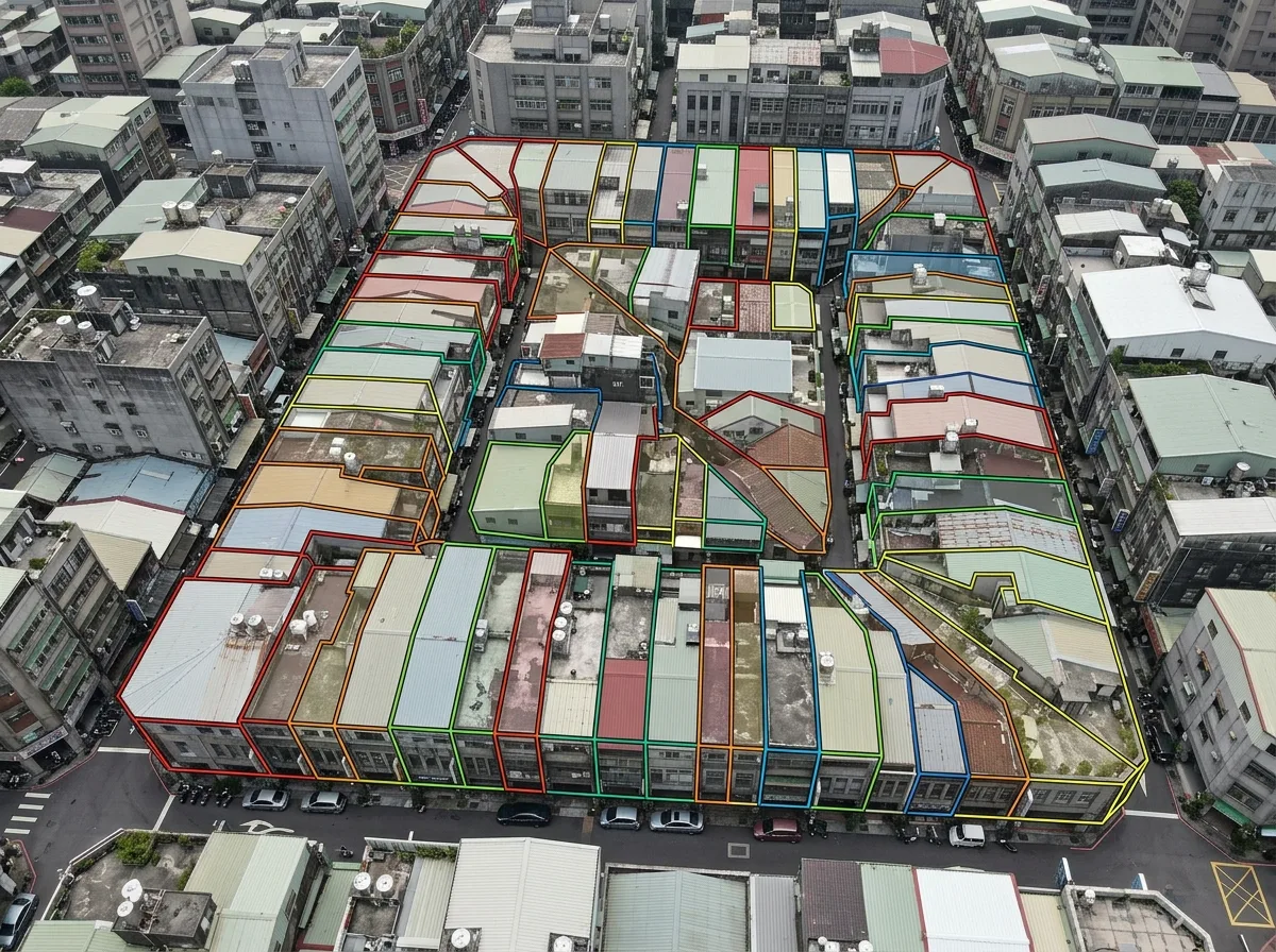
Fragmented Land Registry: Twenty Landowners on One Plot
Prompt
A cadastral map overlaid on an aerial photo. The block is divided into dozens of land parcels of varying sizes and shapes: there are long strip-shaped street house plots, irregular odd-shaped plots, and small plots of only a few pings (Taiwanese unit of area) sandwiched in between. Some land parcel boundaries pass through existing buildings, and some private access roads are not registered as roads. Each parcel is marked with a different color or number. The purpose of the map is to show the difficulty of integration. Avoid: drawing the cadastre as neat squares, making the area of each land parcel similar, omitting odd-shaped plots and private access roads, making the cadastral lines consistent with building outlines.
Translated from Chinese by AI.
Show the original prompt
一張套疊在空拍上的地籍圖。街廓被切成大小形狀都不一樣的數十筆土地:有長條狀的街屋基地、有不規則的畸零地、有夾在中間只有幾坪的小塊;有些地號的邊界穿過現有建築物,有些私設通路沒有登記為道路。每一筆用不同的顏色或編號標示。圖面的目的是顯示整合的難度。避免:把地籍畫成整齊的方格、讓每一筆土地的面積相近、省略畸零地與私設道路、把地籍線與建築輪廓畫成一致。