Text-to-Image
Landscape
Nano Banana
Pedestrian System Analysis: Hierarchy, Distance, and Nodes
Prompt
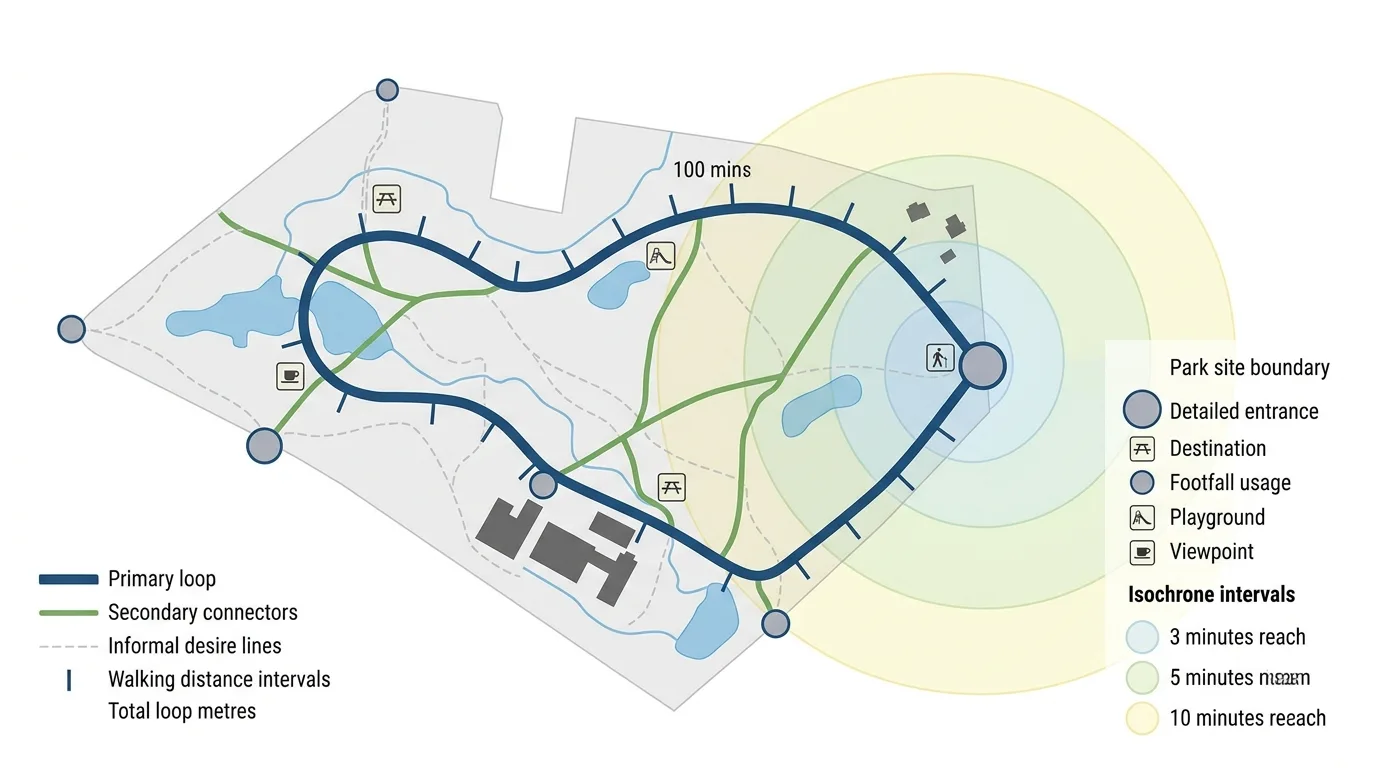
Create a path hierarchy diagram for a park, drawn as a flat analytical plan. Render the site as a pale grey silhouette with only the boundary, water and building footprints indicated. Overlay the path network as coloured lines of three clearly different weights: a bold primary loop, medium secondary connectors, and thin informal desire lines shown dashed. Detail the entrances as circular markers on the boundary, sized by how much footfall each carries, and the destinations as square markers with small icons. Show the walking distance with tick marks along the primary loop every hundred metres and a total distance label. Add isochrone rings in a translucent tint radiating from the main entrance at three, five and ten minutes, so reach is visible. Detail a legend explaining the three path grades, the marker types and the isochrone intervals. Keep everything flat with generous white space. Diagram style, white background, no shadows, no perspective, no photorealism.