Text-to-Image
Landscape
通用
Canopy Cover: How Much Green from Above
Prompt
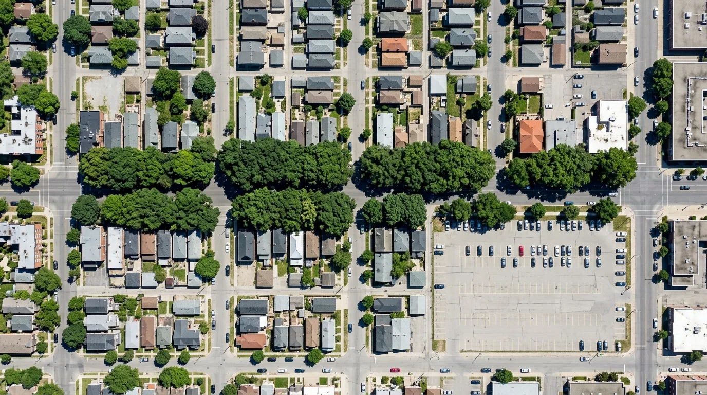
An orthographic aerial view of a city block, showing the actual situation of tree canopy coverage. The image clearly shows the area and distribution of tree canopy projections: main roads have continuous and mature street tree canopies on both sides, almost completely shading the sidewalks, forming continuous green belts; however, alleys and some blocks have almost no trees, with asphalt and rooftops completely exposed; parking lots are the largest exposed areas. The size difference of tree canopies is obvious—old trees have canopies exceeding ten meters, while newly planted ones are only two to three meters. The image also shows that the ground color of uncovered areas is noticeably lighter and hotter. This illustration demonstrates the unevenness of coverage. Avoid: depicting the entire block as uniformly covered, making all tree canopies the same size, using a perspective angle that obscures the actual coverage area, or eliminating the contrast of exposed areas.
Translated from Chinese by AI.
Show the original prompt
一個街區的正射鳥瞰,呈現樹冠覆蓋的實際狀況。畫面中可以清楚看出樹冠投影的面積與分佈:主要幹道兩側有連續而成熟的行道樹樹冠,幾乎遮蔽整條人行道,形成連續的綠帶;但巷弄與部分街廓幾乎沒有樹,柏油與屋頂完全暴露;停車場是最大的裸露區塊。樹冠的大小差異明顯——老樹的冠幅超過十公尺,新種的只有兩三公尺。畫面同時可以看出未覆蓋區域的地表顏色明顯較淺較熱。這張圖說明的是覆蓋的不均。避免:把整個街區畫成均勻覆蓋、讓所有樹冠大小相同、使用透視角度看不出覆蓋面積、消除裸露區域的對比。