Text-to-Image
Landscape
通用
The Intertidal Zone: Between Flooding and Not Flooding
Prompt
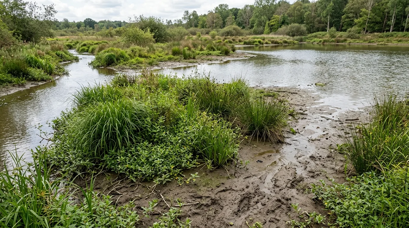
A repeatedly submerged shoreline. The edge of a pond or stream has an extremely gentle slope, with a ratio less than 1:5, so the width of the submerged area can vary by several meters as the water level rises and falls. The plants in this zone are flood-tolerant sedges, rushes, and Ludwigia, varying in height and very dense, with roots that hold the soil. When dry, traces of the previous water level and mud cracks can be seen. Avoid: making the pond bank a steep vertical boundary, using artificial ponds with fixed water levels, paving the shoreline with pebbles or bricks that prevent plant growth, planting aquatic plants in neat planting troughs.
Translated from Chinese by AI.
Show the original prompt
一圈會被反覆淹沒的岸邊。水池或溪流的邊緣坡度極緩,坡比小於一比五,因此水位漲落時淹沒的寬度可以差到好幾米;這一帶的植物是耐淹的莎草、燈心草與水丁香,高度不一、密度很高,根系把土抓住。乾的時候可以看到上次水位留下的痕跡與泥裂。避免:把池岸做成陡峭的垂直界線、使用固定水位的人工水池、在岸邊鋪設卵石或磚讓植物無法生長、把水生植物種在整齊的植栽槽裡。