Text-to-Image
Landscape
Nano Banana
Diagramming Accessible Circulation: Slopes, Level Changes, and Reach
Prompt
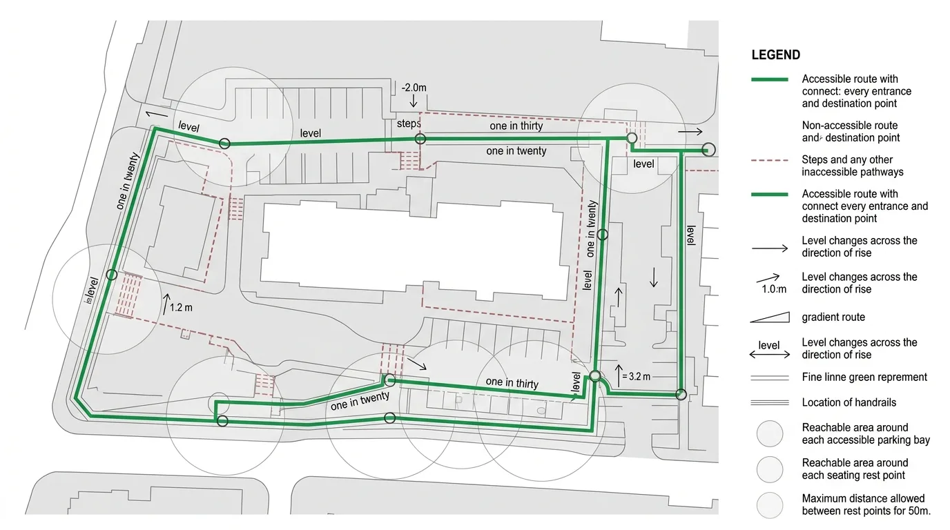
Create an accessibility diagram for a landscape scheme, drawn as a flat analytical plan. Show the site in quiet grey with paths and level changes indicated. Overlay the accessible route as a bold continuous green line running from every entrance to every destination, with its gradient noted in segments — one in twenty, one in thirty, level — and each landing marked by a small circle. Detail the steps and any route that is not accessible in a muted red dashed line, so the contrast between the two networks is immediate. Show the level changes as short arrows with the rise noted, and any handrail as a fine parallel line beside the route. Overlay translucent circles showing the reach from each accessible parking bay and each seating rest point, so the gaps in coverage become visible. Add a legend explaining the line types and gradient colours, plus a note of the maximum distance between rest points. Flat diagram, white background, no shadows, no perspective, no photorealism.